You are using an out of date browser. It may not display this or other websites correctly.
You should upgrade or use an alternative browser.
You should upgrade or use an alternative browser.
This Is Why Snow Is a Good Thing
- Thread starter Amaury
- Start date
Amaury
Well-known member
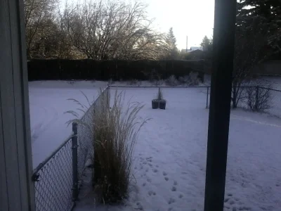
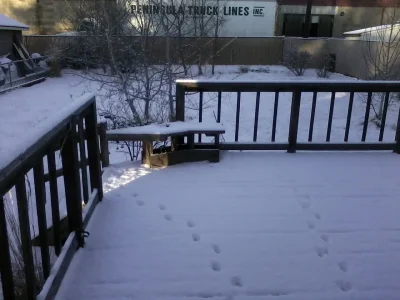
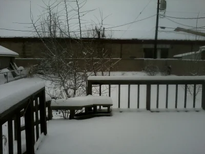
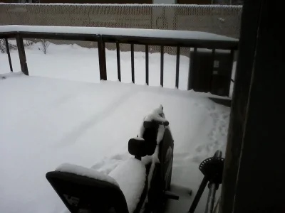
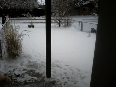
I have plenty of it here in my yard if you want any. You'll have to load it yourself though. LOL

On the bright side, the current forecast, which I know is always likely to change, for next week is rain / snow / precipitation.
But yeah, this winter's been sucky due to a stupid high pressure ridge keeping wet weather from coming over here and, ultimately, it's the reason for our lack of snow. So far we've only had snow on January 7, which melted in a few days, on January 29, which also melted in a few days, and on Monday (February 3), which melted in a few hours, and it was only about 30 degrees the whole day.
jasetaro
Well-known member
We've had two snow storms this week. We're expecting another one Sunday and the weather weenies are talking the possibility of another one later next week... Six more weeks of this lovely winter weather and that fuzzy little @#$%^& Punxsutawney Phil is going to end up as a pair of slippers.Was 2F this morning by me - snow is supposed to be coming to our area tonight.
Are you in NY? Sounds just like my local forecastWe've had two snow storms this week. We're expecting another one Sunday and the weather weenies are talking the possibility of another one later next week... Six more weeks of this lovely winter weather and that fuzzy little @#$%^& Punxsutawney Phil is going to end up as a pair of slippers.
jasetaro
Well-known member
No, I'm close enough a snowball fight though... Connecticut.Are you in NY? Sounds just like my local forecast
Kevin
Well-known member
... or Philly or anywhere else in the NE at the moment.Are you in NY? Sounds just like my local forecast
Today was the first day in about a week that I've been to our office; coming through some of the side roads the amount of damage reminded me of the major storms that have come through. I ended up having to take several detours to get around roads that were closed due to fallen trees.
Amaury
Well-known member
I'm both happy and a nervous wreck.
Went to my aunt's to have dinner; my mom and I, with me as the driver, of course, come back home in an intense snowstorm that's still raging! Streets out where my aunt lives were covered within 10 minutes.
It's even more nerve wrecking when you're going 20 MPH on an INTERSTATE and vehicles, including semis, are passing you going about 50 - 60 MPH. I could barely see the road.
On the bright side, I'm happy because we've finally got a winter storm!
Last edited:
Amaury
Well-known member
It was 87 degrees inland today, and just 78 near my work, which is coastal. As you can see, as a Californian, I'd love it if it rained. I'd like to avoid half the state being on fire this summer.
We unfortunately had some pretty bad wildfires for summer 2012 and summer 2013, but they aren't really a "common" thing for us.
OSS 117
Well-known member
Forgive me for not remembering. We don't often get news about the northwest here. It looked like it was going to rain yesterday evening, especially from the heavy rain smell outside. Alas, it didn't. It's been relatively cool since that post, but it's going to be 84* tomorrow. Our final rainy days are about two weeks into April. Meaning if we don't see anything til then, the state is pretty much screwed fiscally and physically.
Amaury
Well-known member
Not today, but it's been raining lightly here the last few days and snowing in the mountains. Snoqualmie Pass and Stevens Pass, two of the passes area, were closed multiple times on Monday and Tuesday.
Driving across the Washington Cascades is expected to remain a challenge through Thursday after another 1-to-2 feet of snow falls.
Snoqualmie and Stevens passes were closed multiple times Monday and Tuesday for avalanche control and multiple spinouts and accidents. Snoqualmie Pass was open this morning with traction tires advised, according to the Washington State Department of Transportation.
The closures affected area businesses, as drivers waited for the pass to open at about 9 p.m. Tuesday.
The Northwest Avalanche Center reported 94 inches of snow at Snoqualmie Pass this morning, up from 88 inches Tuesday morning. The center said avalanche danger in the Snoqualmie Pass area was considerable.
“Allow new snow to settle Wednesday and stick with conservative terrain selections,” the center’s forecast advised.
A winter weather advisory was in effect until 3 p.m. Thursday in the Cascade passes. The heaviest snowfall was predicted tonight and Thursday morning with total accumulations of 12 to 22 inches, the National Weather Service reported.
A break in the snow and colder weather this weekend should give skiers and snowboarders the opportunity to head for resorts to enjoy all the fresh snow.
Ben Goldie, owner of The Cottage Cafe and Lounge in Cle Elum, said that pass closures typically bring an influx of people, although Monday’s closure did not break any business records.
“When the pass closes, we get hit because they can’t go anywhere,” Goldie said. “When it gets going again, we get hit again when they stop in for bathroom breaks. It’s just the life of living in the mountains. I never get upset one way or the other. It’s just another day’s business.”
Forecasters said the front will be followed by drier but cooler weather Friday with a chance of snow through the weekend in the mountains.
The mountain snowpack that had been around 50 percent on Feb. 1 has climbed to about 80 percent in three weeks, Burke said. And it will likely continue to accumulate into the early spring.
“We’ve made a lot of progress,” Burke said.
“We call this reversion to the mean,” he said. “If you take a long enough period everything is always average.”
Similar threads
- Replies
- 0
- Views
- 27
- Replies
- 1
- Views
- 341
- Replies
- 5
- Views
- 1K
- Replies
- 3
- Views
- 898
